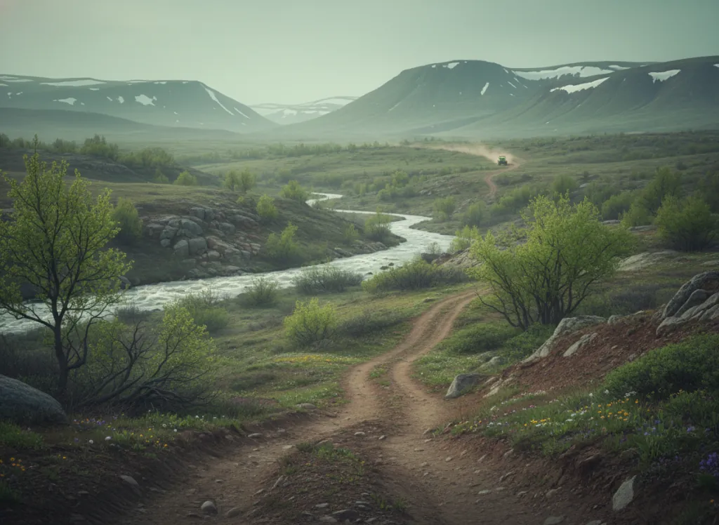
Custer Gallatin National Forest's Bozeman Ranger District manages OHV trail access on the east side of the Bridger Range and into the Bangtail Mountains north of Bozeman in Gallatin County, Montana, mountain terrain visible from downtown Bozeman that offers a dramatic alpine and subalpine riding environment within 30 minutes of the city. The Bangtail Divide trail system and the Jackson Creek ATV corridor are the primary OHV-designated areas, with trails following old logging roads and purpose-built routes through mixed lodgepole and spruce-fir forest. Elevation ranges from approximately 5,000 feet in the valleys to over 8,000 feet on Bangtail Ridge, where high-country views extend across the Gallatin Valley and toward Yellowstone. OHV widths are restricted to 50 inches on designated trails. Motor Vehicle Use Maps from the Bozeman Ranger District office (406-522-2520) are essential for navigation, the trail network is distributed across a broad landscape and not all roads in the area are open to motorized travel. Seasonal snow keeps upper-elevation trails closed until late June most years; fall riding through mid-October offers the most reliable conditions and spectacular larch color. Contact the Bozeman Ranger District for current seasonal access.
Trip openings, seasonal updates, and the occasional deal, straight to your inbox.
FAQ
Everything you need to know before you get started.
Have a question, or ready to book? Reach out and we’ll get right back to you.